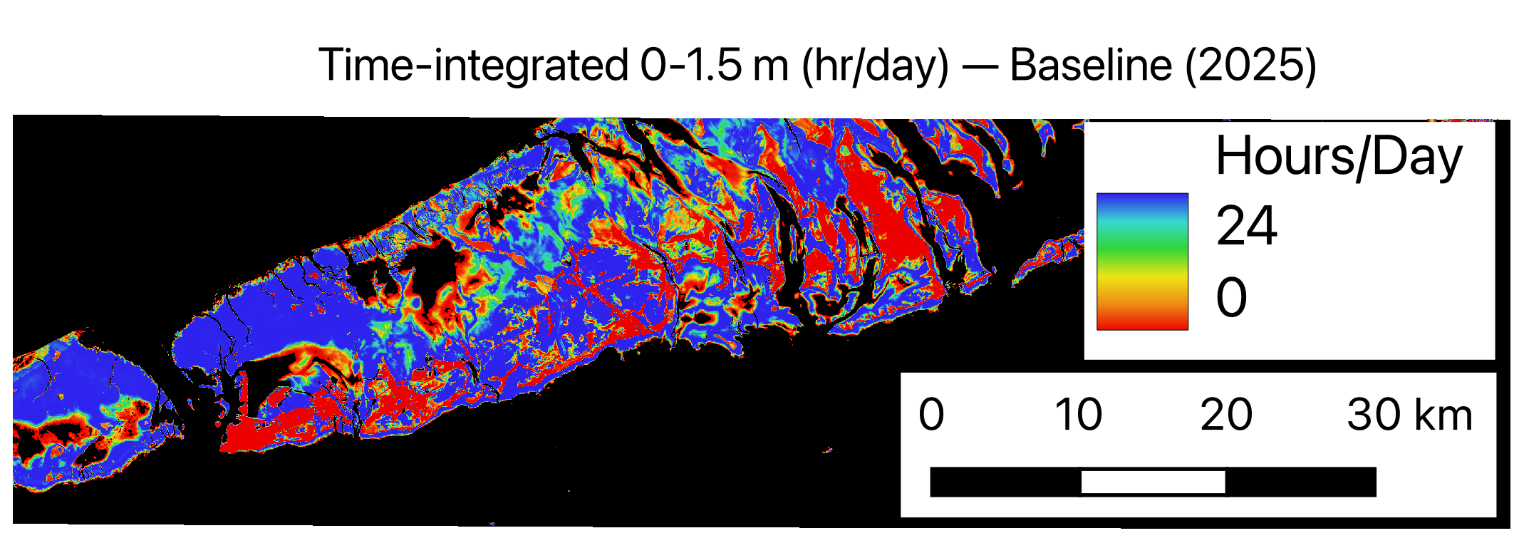
Scientific modeling tools for coastal inundation projects. A Python implementation of tidal and shallow-water availability modeling, built for reproducible pipelines that scale from a laptop to HPC.
timsa-py grew out of a decade of coastal and shallow-water research — from tidal-inundation models of foraging habitat to terabyte-scale processing of satellite and elevation data. It packages that work into a library you can drop into a study rather than rebuild from scratch.
What it does
01Time-integrated availabilityTurn tidal and elevation dynamics into habitat- and inundation-availability surfaces over time.
02Reproducible pipelinesConfig-driven runs, versioned inputs, and outputs designed for review and re-analysis.
03Scales with your dataVectorized NumPy/SciPy core with paths to parallel and cluster execution for large domains.
04Plays with your stackReads common geospatial and logger formats; interoperates with GIS and remote-sensing workflows.
Who it's for
Coastal scientists, agency staff, and consultants running inundation, overwash, or shallow-water availability analyses who need results they can defend and reproduce.